Field principle
Map colors and symbols are not universal: read the map-specific legend. The examples here are representative topographic-map conventions, not a substitute for the legend printed on your map.
On this page
Map lines and landforms
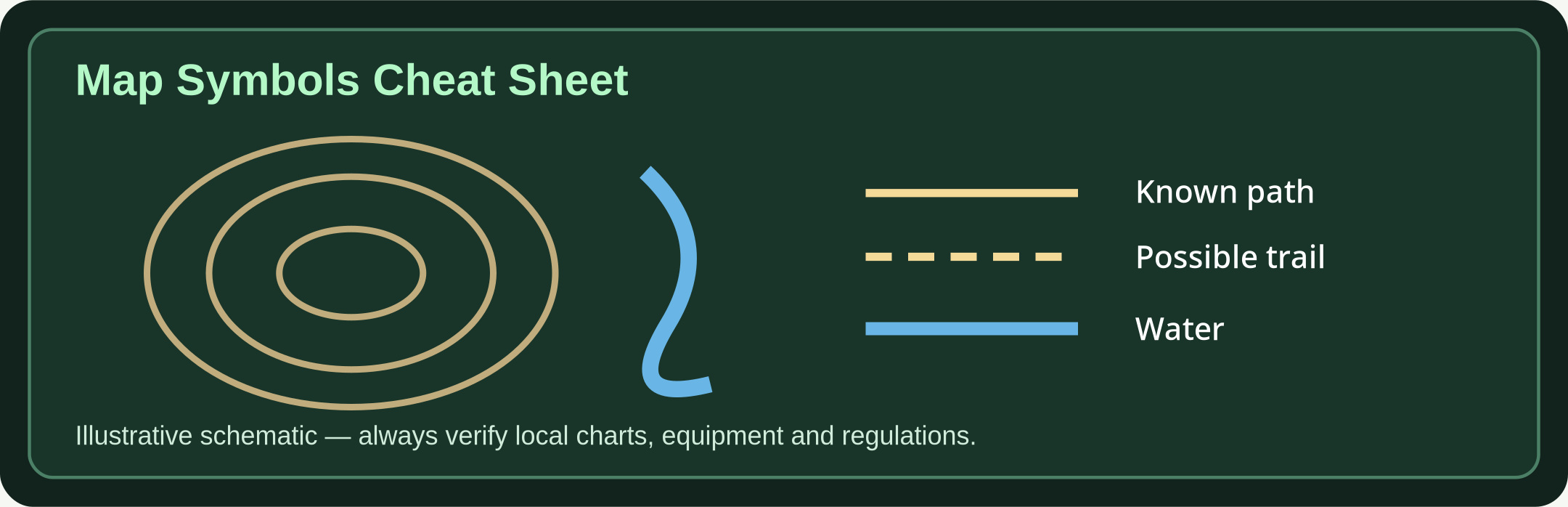
- Contour line: Connects points of equal elevation; spacing indicates slope steepness.
- Index contour: Heavier contour line often labeled with an elevation value.
- V-shaped contours: Where contours cross a stream valley, their V typically points upstream; confirm with neighboring terrain.
- Ridge and saddle: Ridges are elongated high ground; a saddle is a lower pass between peaks.
- Depression contours: Hachures on closed contours can show enclosed lower terrain.
Frequently seen features
- Blue line or area: Usually watercourses and water bodies on many topographic maps.
- Green fill: Often wooded or vegetated areas; specific meaning depends on map.
- Brown contours: Elevation lines in many topographic products.
- Black or gray lines: Buildings, trails, roads and infrastructure; line style may distinguish route quality.
- Dashed tracks: May indicate trails, footpaths or approximate features; verify the map legend.
- Grid lines: Coordinate references used to locate and describe a position.
Read the legend before travel
- Scale example: At 1:25,000, 4 cm on the map represents 1 km on the ground.
- Contour interval: A 10 m contour interval means neighboring contours differ in elevation by 10 m.
- North references: True, grid and magnetic north may differ. Read the declination diagram and map publication date.
- Hazards and access: Symbols do not guarantee a route is passable, permitted or safe today.
Further reading & source material
Use these sources to validate local rules, technical standards and updates. No emergency article replaces official alerts or trained responders.