Field principle
A useful field map emphasizes consistent reference points, a dated north arrow, relative distances, hazards, and clear labels. A sketch is for orientation, not a substitute for surveyed maps in high-risk navigation.
On this page
Set a purpose and north reference
- Choose the use: Draw for walking, evacuation, campsite layout or handoff to a rescue team; the needed accuracy differs.
- Record orientation: Mark true or magnetic north explicitly and the date, not just an unexplained N.
- Define scope: List start point, destination, water, terrain barriers, safe refuge, exit routes and areas you must avoid.
Collect observations
- Anchor known points: Begin with recognizable fixed landmarks such as bridges, trail crossings or surveyed markers.
- Measure route distance: Pace a known 100 m distance to estimate your pace length, then record steps on each trail segment.
- Use bearings: Take compass directions between visible landmarks while away from magnetic interference.
- Record changes: Log bends, junctions, stream crossings, slopes and prominent ridgelines immediately in your notebook.
Use scale and symbols
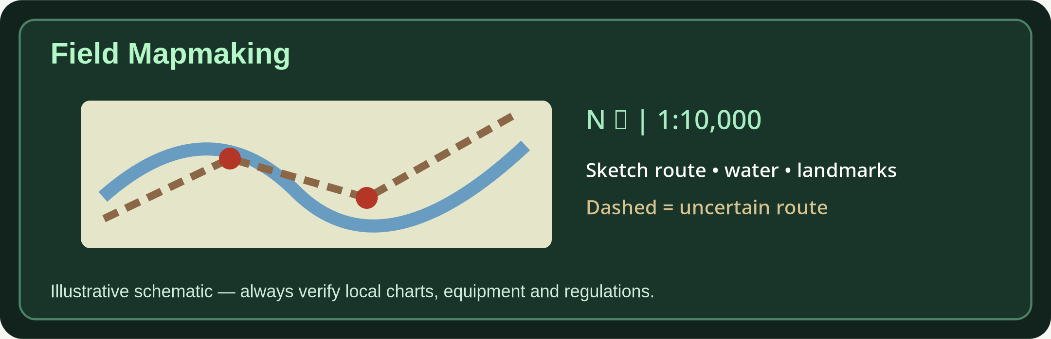
- Choose scale: At 1:10,000, 1 cm represents 100 m on the ground. Write a numeric and a graphic scale bar.
- Use a legend: Symbols must be explained. Label bridge, river, forest, path, cliff, buildings, hazard and water sources.
- Draw line types: Solid for confirmed paths, dashed for uncertain tracks, hatched or shaded for danger/steep ground.
- Contours: Contours join equal elevations; close spacing suggests steep slopes, wide spacing gentle slopes.
Validate the sketch
- Fix direction errors: Compare the rough map with an existing trusted paper or offline topographic map if available.
- Check the route: Test whether distances and intersection order match observations; note uncertain areas clearly.
- Make a handoff copy: Include author, date, area, north reference, map scale, known coordinates when available, and a short written route description.
- Never extrapolate safety: Do not invent bridges, crossings, water sources or exits; mark unknowns rather than guessing.
Further reading & source material
Use these sources to validate local rules, technical standards and updates. No emergency article replaces official alerts or trained responders.